What is India’s Millet revolution – health benefits, growing condition, initiatives by Govt
2023-03-24
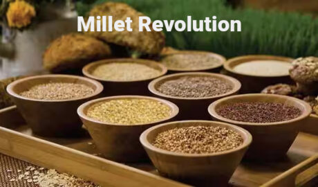
What is Millet? Millet is a type of cereal grain that is commonly grown in warm and dry regions around the world. It is a small, round grain that is highly nutritious and has been a staple food in many cultures for thousands of years. There are several different typesRead More →